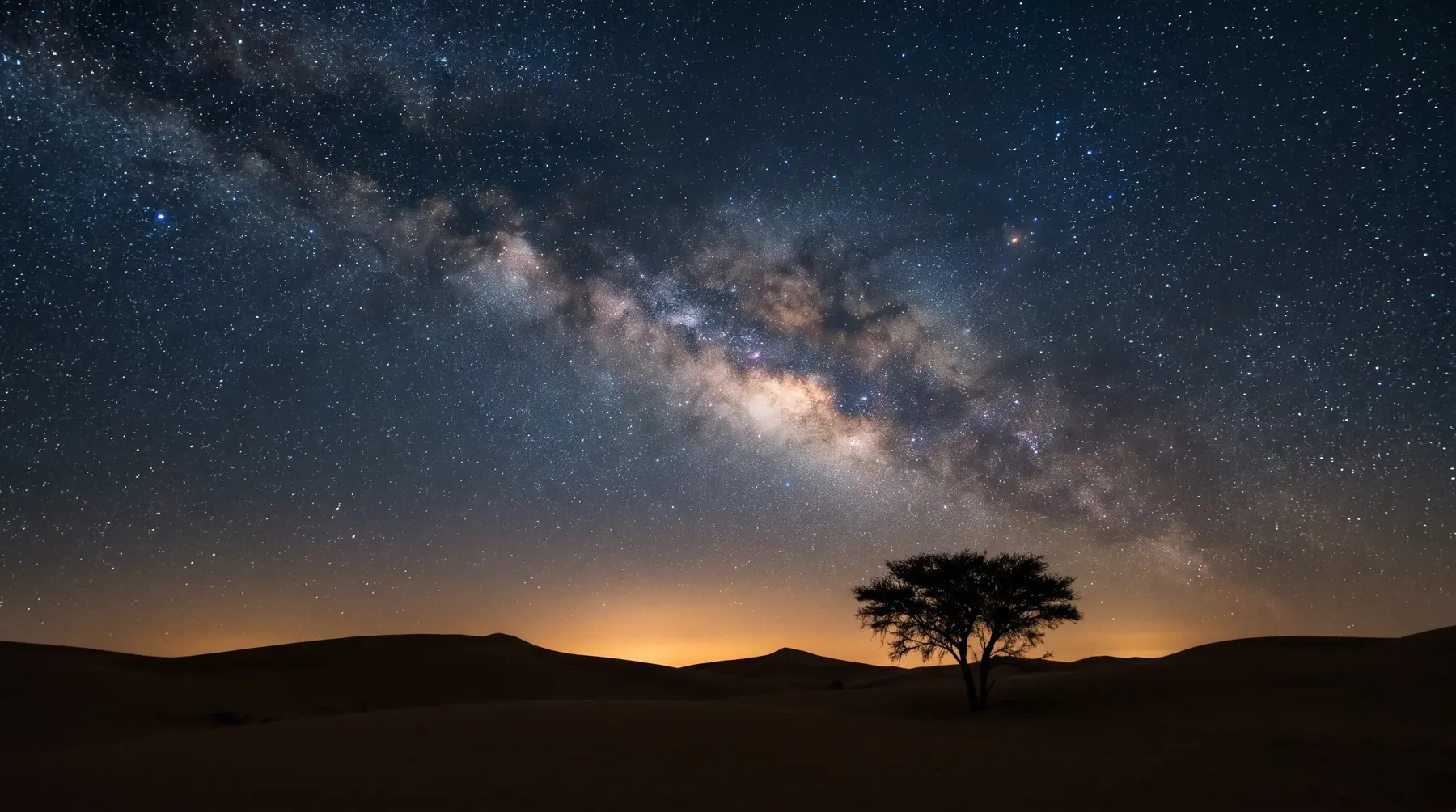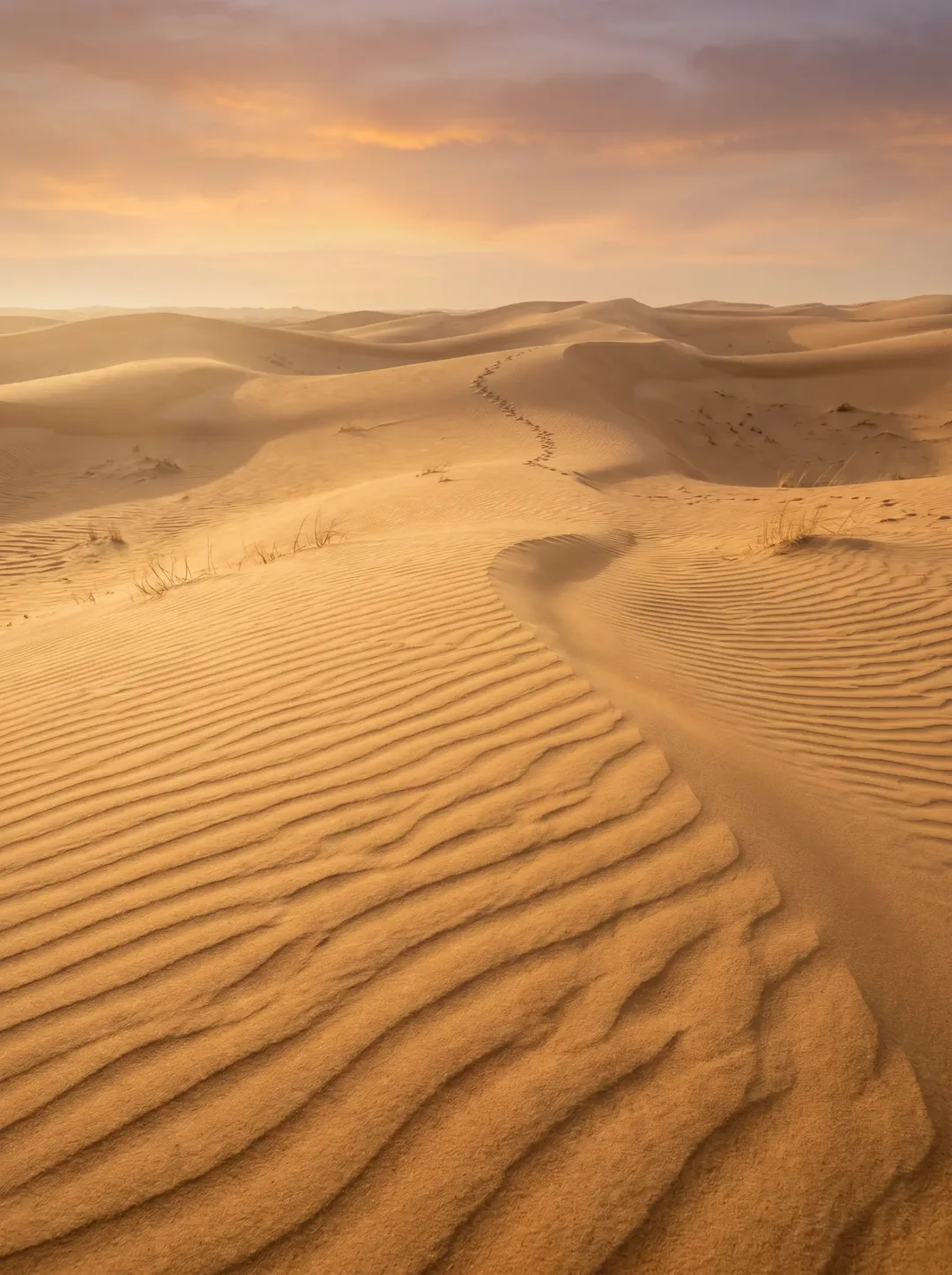
King Abdulaziz Royal Reserve lies north-east of Riyadh, about 90 km from the city centre, mostly in Riyadh Province with part in the Eastern Province, and covers about 28,000 km² according to its development authority. Saudipedia describes it as bordered by Hafr Al-Batin Governorate to the north, Al-Majmaah to the west, Riyadh city to the south and Qaryat Al-Ulya to the east. It is one of the royal reserves closest to Riyadh and brings together Najd's best-known rawdahs, such as Tanhat, Khafs and Noura, with the Dahna sands and the Summan plateau. It was created by royal order on 17 Ramadan 1439 AH (1 June 2018) from the Tanhat and Khafs reserves and their adjacent areas, is run by the King Abdulaziz Royal Reserve Development Authority, and is on the IUCN Green List.
Key facts
- Location: north-east of Riyadh, about 90 km (one hour by car) from the city centre.
- Area: about 28,000 km² according to its development authority (IUCN gives 28,340 km²).
- Neighbours: Hafr Al-Batin to the north, Al-Majmaah to the west, Riyadh city to the south and Qaryat Al-Ulya to the east.
- Established: royal order of 17 Ramadan 1439 AH (1 June 2018).
- Managed by: the King Abdulaziz Royal Reserve Development Authority.
- Entry: free and permit-free, except in the Summan and Dahna areas, which need a permit from the authority's website.
- Recognition: IUCN Green List since 2024.
Where is King Abdulaziz Royal Reserve?
The reserve lies north-east of Riyadh, about one hour's drive (around 90 km) from the city centre according to its development authority. Most of it is in Riyadh Province, with part in the Eastern Province. Saudipedia describes it as bordered by Hafr Al-Batin Governorate to the north, Al-Majmaah to the west, Riyadh city to the south and Qaryat Al-Ulya to the east.
King Abdulaziz Royal Reserve boundaries
The development authority publishes no written description of the boundary line and no coordinates. What official and reliable sources do give is four things:
- Neighbouring governorates: Saudipedia describes the reserve as bordered by Hafr Al-Batin Governorate to the north, Al-Majmaah to the west, Riyadh city to the south and Qaryat Al-Ulya to the east. Most of it is in Riyadh Province, with part in the Eastern Province.
- What lies inside: the Khafs, Tanhat and Noura rawdahs, the Dahna sands and the western part of the Summan plateau.
- Markers on the ground: the authority says the boundaries are marked by guide signs and on the digital map, and can be found precisely on Google Maps.
- Permit areas: the Summan and Dahna areas inside the reserve can only be entered with a permit from the authority's website, from 6 am to 6 pm.
The internationally registered boundary can be viewed in the World Database on Protected Areas (Protected Planet) under ID 11956.
Rawdahs and landmarks
According to its development authority, the reserve contains 175 rawdahs and faydahs, the Dahna desert, the western part of the Summan plateau and several valleys. Highlights include:
| Landmark | What the development authority states |
|---|---|
| Rawdat Tanhat | About 11 million m² and 76 plant species, in the south-west of the reserve. |
| Rawdat Khafs | Northern and southern parts covering about 21 million m². |
| Rawdat Noura | About 4.4 million m² and 12 plant species, fed by Wadi Al-Atak. |
| Al-Urmah plateau | Up to 100 km long, averaging 30 m in height. |
| Wadi Al-Shawki | 45 km long. |
Some figures differ on Saudipedia, such as the area of Rawdat Noura and the length of Wadi Al-Shawki; we use the development authority's figures.
Wildlife
- According to the authority: 25 mammal species, including sand gazelle and Arabian oryx; more than 272 tree and shrub species; and more than 575 species in total.
- Reptiles: the 2025 survey recorded 31 species, three of them new to the reserve.
- Birds: 97 species, with 34 more newly recorded in 2026.
- Reintroductions: 220 sand gazelles and 80 Arabian oryx had been released by the IUCN evaluation in November 2024, against targets of 500 and 170 by 2026.
Entry permits and camping
- Entry: free and permit-free in most of the reserve. The Summan and Dahna areas require a permit from the services section of the authority's website (an account is needed), with access from 6 am to 6 pm.
- Permit timing: some authority announcements describe an instant permit, while an earlier one asked for applications two working days ahead, so we recommend applying early.
- Camping: only at designated sites and with a permit, in the season from October to the end of April, for personal use and against a refundable deposit. Last season the authority offered 125 free camping sites. Sleeping in a car or on a ground mattress is allowed, except in Summan and Dahna.
- Prohibited: hunting all year; woodcutting (fines up to SAR 20,000); grazing without a permit; fires directly on the ground (a raised brazier is allowed); caravans; new vehicle tracks or driving into rawdahs; and carrying birds of prey.
International recognition
The reserve was added to the IUCN Green List in 2024, after an application in November 2022 and an evaluation in November 2024; the listing was announced in January 2025. It is registered in the World Database on Protected Areas under ID 11956, in IUCN management category II (national park).
Restoration work
- April 2026: the authority reported 614,312.92 hectares rehabilitated, more than 60% of the Kingdom's first million hectares.
- 2025: 300,000 trees and shrubs planted, more than 2,000 hectares rehabilitated and more than 178,000 linear metres of fencing.
- October 2026: 61 rangers trained in five courses with Alwaleed Philanthropies.
Habitat restoration needs a design that sets the native plants and planting sites, and monitoring indicators that measure the results over the years.
Frequently asked questions about King Abdulaziz Royal Reserve
Where is King Abdulaziz Royal Reserve?
North-east of Riyadh, about 90 km from the city centre, mostly in Riyadh Province with part in the Eastern Province.
What are the boundaries of King Abdulaziz Royal Reserve?
The development authority says the boundaries are marked by guide signs on the ground and on the digital map, including Google Maps. Saudipedia describes it as bordered by Hafr Al-Batin to the north, Al-Majmaah to the west, Riyadh city to the south and Qaryat Al-Ulya to the east. Its internationally registered boundary is in the World Database on Protected Areas under ID 11956.
How large is King Abdulaziz Royal Reserve?
About 28,000 km² according to its development authority; IUCN gives 28,340 km².
Do I need a permit to enter the reserve?
Entry is free and permit-free in most of the reserve; the Summan and Dahna areas require a permit from the services section of the authority's website.
Who manages King Abdulaziz Royal Reserve?
The King Abdulaziz Royal Reserve Development Authority.
The Rasmala team's experience
Rasmala's experts, independently or as consultants and specialists to major international consultancies, delivered the strategy and integrated management plan for King Abdulaziz Royal Reserve (2022–2023), including its registration in the World Database on Protected Areas.
How we can help
- Nature reserve management: management plans, and the zoning schemes and use regulations that govern camping and activities.
- Nature and biodiversity conservation: habitat and rawdah restoration designs, and reintroduction feasibility studies and release plans.
- Ecotourism: carrying-capacity studies, visitor management and operator guides.
- Environmental management and monitoring: monitoring indicators that measure restoration and reintroduction results over the years.
We offer these services to development authorities and to organisations planning activities or projects inside or next to the reserve; for a reserve expanding its restoration and reintroduction work, conservation and monitoring are the closest fit. Rasmala does not issue entry or camping permits; those are services on the authority's website. To discuss a project, contact the Rasmala team.
Guide to Saudi Arabia's Royal Reserves · King Khalid Royal Reserve · King Salman bin Abdulaziz Royal Reserve
Sources
- King Abdulaziz Royal Reserve Development Authority, About the reserve — karrda.gov.sa/ar/about-reserve
- Development authority, FAQs — karrda.gov.sa/ar/faqs
- Development authority news (2025 review, June 2026; 614,000 ha rehabilitated, April 2026; ranger training, October 2026; camping season, November 2025 and October 2026) — karrda.gov.sa/ar/news
- IUCN Green List, King Abdulaziz Royal Reserve — iucngreenlist.org
- Protected Planet, protected area 11956 — protectedplanet.net/11956
- Saudipedia, King Abdulaziz Royal Reserve (royal order date and neighbouring areas) — saudipedia.com
- Development authority, Summan and Dahna entry permit service — karrda.gov.sa/ar/services/soman
Sources checked on 13 October 2026; the boundaries section on 9 November 2026. Permit and camping rules can change from season to season, so check the authority's website before you go.