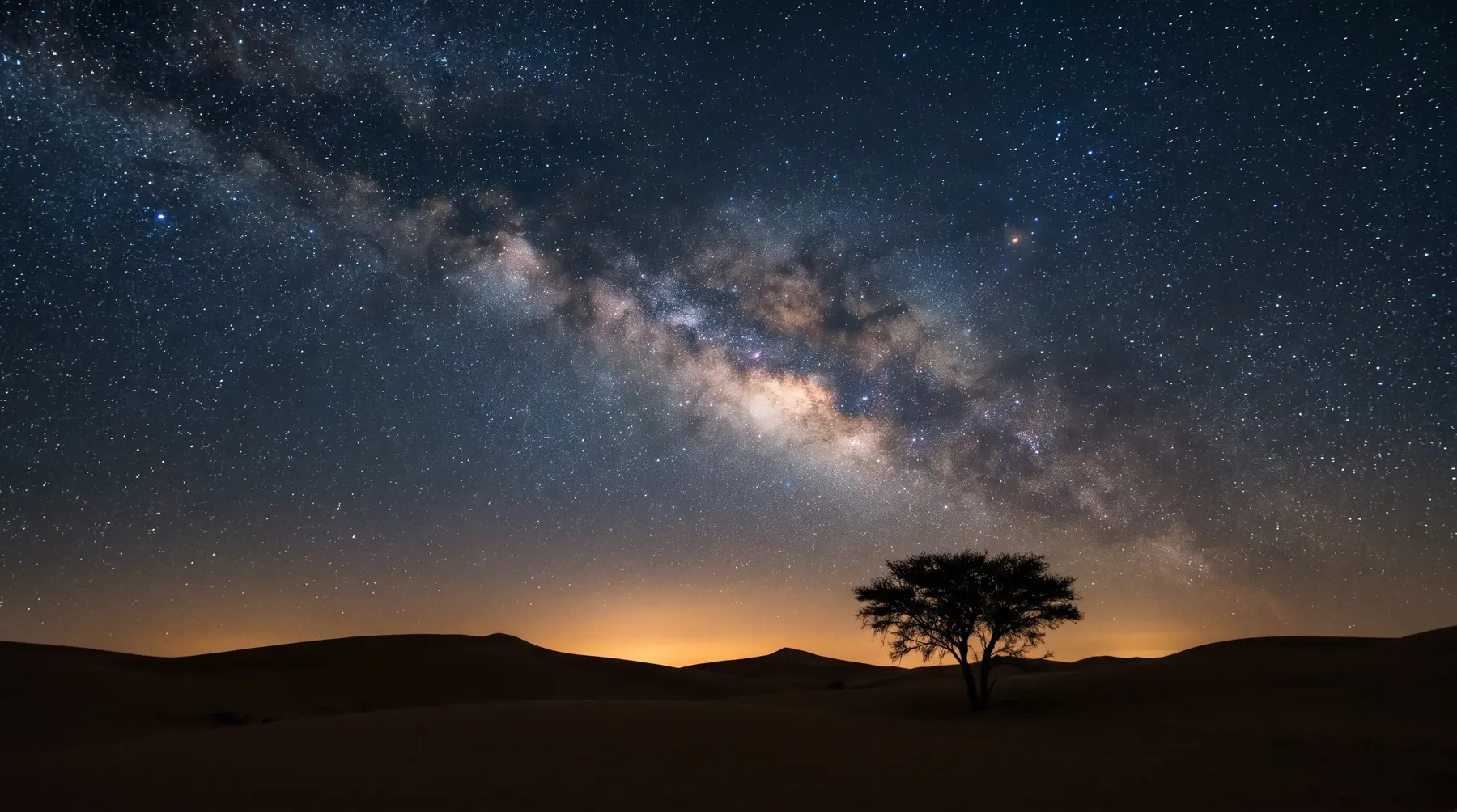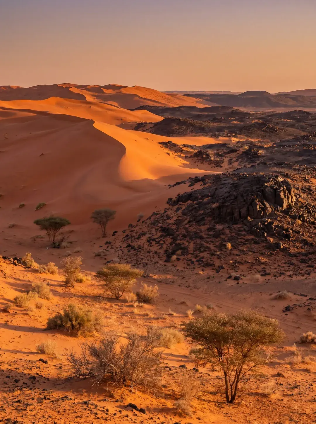
King Salman bin Abdulaziz Royal Reserve lies in the north and north-west of the Kingdom along the Jordanian border. It spans four administrative regions, Northern Borders, Al-Jouf, Tabuk and Hail, and covers 130,700 km² according to its development authority. It was created by high order No. 47124 of 17/9/1439 AH (June 2018) from the Al-Khunfah, Al-Tubaiq and Harrat Al-Harrah reserves and the areas between and adjacent to them, and is run by the King Salman bin Abdulaziz Royal Reserve Development Authority (KSRNR). It is the largest royal reserve, described by its development authority as the largest natural reserve in the Middle East.
Key facts
- Area: 130,700 km² according to its development authority, about 6.1% of the Kingdom according to IUCN.
- Regions: Northern Borders, Al-Jouf, Tabuk and Hail.
- Boundaries: Jordan to the north, Tabuk Region to the west, Tayma to the south-west, Hail to the south-east, Sakaka and Dumat Al-Jandal to the east.
- Established: high order No. 47124 of 17/9/1439 AH (June 2018).
- Managed by: the King Salman bin Abdulaziz Royal Reserve Development Authority.
- Formed from the Al-Khunfah, Al-Tubaiq and Harrat Al-Harrah reserves and the areas between and adjacent to them.
- Recognition: IUCN Green List since 2024.
Where is King Salman Royal Reserve?
The reserve lies in the north and north-west of the Kingdom, spanning four regions: Northern Borders, Al-Jouf, Tabuk and Hail, and it borders Jordan. Places within it include Jubbah in Hail, part of the UNESCO World Heritage rock art property.
King Salman Royal Reserve boundaries
To the north the reserve runs along the Saudi-Jordanian border. Saudipedia describes what surrounds it on the other sides:
- North: the Jordanian border near Wadi Rum.
- West: Tabuk Region.
- South-west: Tayma.
- South-east: Hail.
- East: Sakaka and Dumat Al-Jandal.
Its boundaries overlap several governorates and villages, including Al-Qurayyat and Tabarjal in Al-Jouf Region and Turaif in the Northern Borders Region.
We found no boundary coordinates or downloadable boundary map on the authority's website. The internationally registered boundary is available in the World Database on Protected Areas (Protected Planet) under ID 555744898, which gives an area of 129,576.31 km², close to the authority's figure.
The founding reserves: Al-Tubaiq, Harrat Al-Harrah and Al-Khunfah
The founding decision describes the reserve as the Al-Khunfah, Al-Tubaiq and Harrat Al-Harrah reserves and the areas between and adjacent to them. The development authority gives the area and location of each:
| Reserve | Area | Location |
|---|---|---|
| Al-Khunfah | 20,450 km² | North of the Kingdom, north of Tayma. |
| Harrat Al-Harrah | 13,775 km² | North-west of the Kingdom, on the Jordanian border. |
| Al-Tubaiq | 12,105 km² | North-west of the Kingdom, on the Jordanian border. |
Saudipedia gives 19,339 km² for Al-Khunfah; we use the development authority's figure.
Al-Tubaiq Reserve
Al-Tubaiq is one of the three reserves that formed King Salman Royal Reserve. It lies in the north-west of the Kingdom on the Jordanian border and covers 12,105 km². Its terrain is rugged, with the Tubaiq mountains in its west and centre, and its animals include the Nubian ibex and sand gazelle. Guide to the Al-Tubaiq and Harrat Al-Harrah reserves
Harrat Al-Harrah Reserve
The development authority describes Harrat Al-Harrah as the Kingdom's first nature reserve; Saudipedia dates its declaration to 1407 AH (1987), and it covers 13,775 km². It is a volcanic plateau of black basalt east of Wadi Sirhan, with low volcanic mountains 800 to 1,150 m high. In Arabic searches the name is sometimes spelled with a final ha in place of the ta marbuta; the official form is Harrat Al-Harrah.
Al-Khunfah Reserve
The largest of the three, Al-Khunfah lies north of Tayma on the western edge of the Great Nafud desert. Its terrain is mostly sandstone, with mountains, hills, plateaus and valleys, and its best-known animal is the sand gazelle.
Landscape and heritage
- Geodiversity: the authority lists 14 geographical formations in the reserve.
- Antiquities: the reserve's heritage dates back to around 8,000 BC, with more than 400 historic and archaeological sites according to the authority.
Wildlife
- Diversity: in June 2025 the authority cited about 350 animal species, 290 bird species and 574 native plant species. Figures vary between the authority's publications depending on the survey year.
- Arabian oryx: back in the area after an absence of more than 90 years.
- Reintroductions: 1,646 animals released and 454 births recorded up to August 2026, including sand gazelle, Nubian ibex, Arabian oryx, houbara and Arabian gazelle.
- Key areas: the reserve contains the first Key Biodiversity Area in its northern section and five Important Bird Areas.
Visiting and permits
- Open areas: some parts of the reserve are open to visitors under a zoning plan in force since March 2023.
- Permits: the authority runs an official online permits platform (permits.ksrnr.gov.sa), with sign-in through Nafath.
- Winter season: campsites, caravan sites and lodging are offered.
- Hiking trails: ten internationally certified trails totalling about 70 km in Tabuk, Hail, Northern Borders and Al-Jouf, to be walked with a certified guide.
- Prohibited: hunting is banned inside the reserve, and grazing without a permit carries escalating fines.
A zoning plan divides a reserve into zones with different permitted activities, and it is what sets the areas open to visitors.
International recognition
The reserve was added to the IUCN Green List in 2024, announced in October 2024. It received IUCN accreditation of its protected-area management categories in 2023, and an IUCN technical innovation certificate in 2026.
Frequently asked questions about King Salman Royal Reserve
Where is King Salman Royal Reserve?
In the north and north-west of the Kingdom along the Jordanian border, spanning the Northern Borders, Al-Jouf, Tabuk and Hail regions.
What are the boundaries of King Salman Royal Reserve?
According to Saudipedia, it is bordered by the Jordanian border near Wadi Rum to the north, Tabuk Region to the west, Tayma to the south-west, Hail to the south-east, and Sakaka and Dumat Al-Jandal to the east.
How large is King Salman Royal Reserve?
It covers 130,700 km² according to its development authority; the World Database on Protected Areas gives 129,576.31 km².
Is Al-Tubaiq part of King Salman Royal Reserve?
Yes. The 2018 founding decision designated the Al-Khunfah, Al-Tubaiq and Harrat Al-Harrah reserves and the areas between and adjacent to them as a single royal reserve, King Salman bin Abdulaziz Royal Reserve.
What is Harrat Al-Harrah?
A volcanic plateau in the north-west of the Kingdom covering 13,775 km², declared a reserve in 1987 and described by the development authority as the Kingdom's first nature reserve. It is now part of King Salman Royal Reserve.
Who manages King Salman Royal Reserve?
The King Salman bin Abdulaziz Royal Reserve Development Authority, which issues visit permits through its online platform.
The Rasmala team's experience
Rasmala's experts, independently or as consultants and specialists to major international consultancies, have worked on strategies and management plans for several royal reserves, including King Abdulaziz, Imam Abdulaziz bin Mohammed, King Khalid, Imam Turki bin Abdullah and Imam Faisal bin Turki Royal Reserves.
How we can help
- Nature reserve management: zoning schemes and use regulations, and management-effectiveness assessment (METT).
- Nature and biodiversity conservation: Red List and conservation-status assessments, and reintroduction and release plans.
- Ecotourism: concession frameworks, and visitor-experience and interpretation plans.
- Environmental management and monitoring: remote-sensing and field-data protocols for monitoring large areas.
We offer these services to development authorities and to organisations planning activities or projects inside or next to the reserve; for a reserve of this size, remote-sensing monitoring and zoning schemes are the closest fit. Rasmala does not issue visit permits; those go through the authority's permits platform. To discuss a project, contact the Rasmala team.
Guide to Saudi Arabia's Royal Reserves · Al-Tubaiq and Harrat Al-Harrah reserves · King Abdulaziz Royal Reserve · King Khalid Royal Reserve
Sources
- King Salman bin Abdulaziz Royal Reserve Development Authority, official website — ksrnr.gov.sa
- Development authority, permits platform — permits.ksrnr.gov.sa
- Saudi Press Agency, the reserve's four regions and Jubbah, 9 August 2024 — spa.gov.sa/N2151445
- Saudi Press Agency, IUCN Green List listing, 9 October 2024 — spa.gov.sa/en/N2185520
- IUCN Green List, King Salman Royal Nature Reserve — iucngreenlist.org
- Protected Planet, protected area 555744898 — protectedplanet.net
- Saudipedia, King Salman bin Abdulaziz Royal Natural Reserve (neighbouring areas and overlapping governorates) — saudipedia.com
- Development authority, About the authority (high order No. 47124, area and location) — ksrnr.gov.sa/en/about
- Development authority, founding reserves page (Al-Tubaiq, Harrat Al-Harrah and Al-Khunfah: area, location and terrain) — ksrnr.gov.sa/en/branch
- Saudipedia, King Salman bin Abdulaziz Royal Reserve, Arabic edition (founding reserves) — saudipedia.com
- Saudipedia, timeline of nature reserves (Harrat Al-Harrah declared 1407 AH/1987) — saudipedia.com
Sources checked on 13 October 2026; sources 1 and 7 to 11 checked again on 5 November 2026. Figures are quoted as published, and some vary with the survey year.